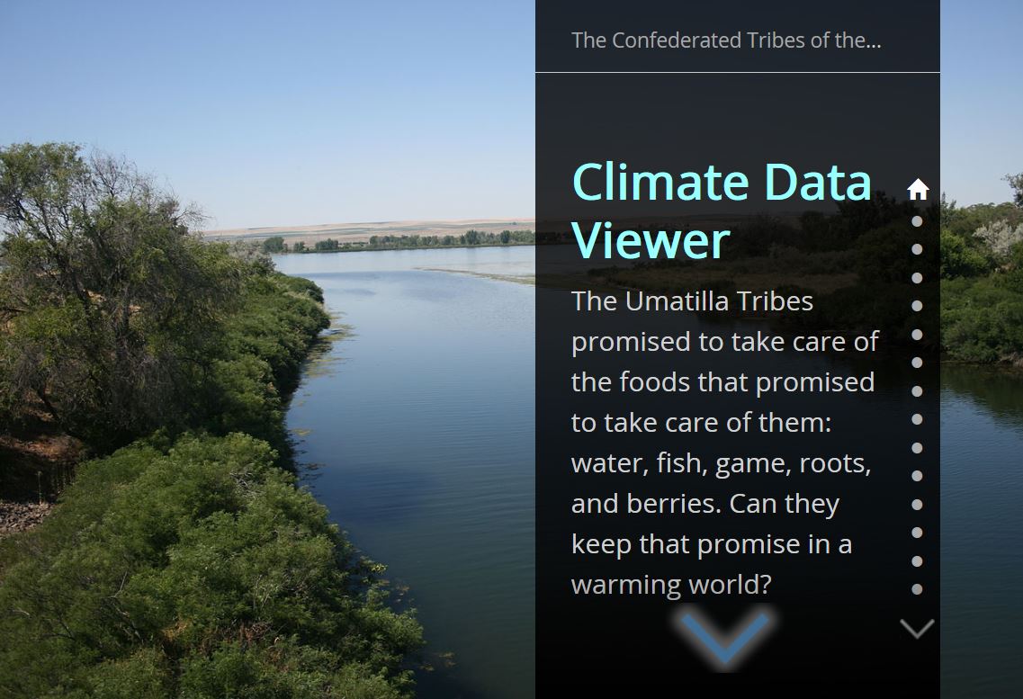
The GIS Program has participated in two climate change funding opportunities under the BIA. The first opportunity was in 2014 and funded CTUIR to develop a web portal consolidating climate data for CTUIR with the purpose of providing data to inform planning efforts for climate change impacts. The results of this effort included incorporating 31 datasets in the data library. The data are accessible through the climate change story map.
The second effort has funded CTUIR to predict changes to the Umatilla river floodplain based on anticipated climate driven variables. This effort was funded in 2017 and is on track for completion in 2019. Please check out this quad report for more information FutureFlowsQuadReport_July2017