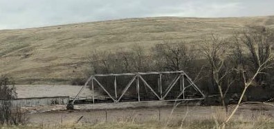
This is an app for submitting damage from the 2020 floods on the Umatilla River and surrounding area. If you would like to submit photos and locations to CTUIR of flood damage please use this app.
Flood Damage 2020 reporting app
This is an app for submitting damage from the 2020 floods on the Umatilla River and surrounding area. If you would like to submit photos and locations to CTUIR of flood damage please use this app.