The GIS Program participates in many different kinds of projects for CTUIR. Here are some of our active and completed projects.
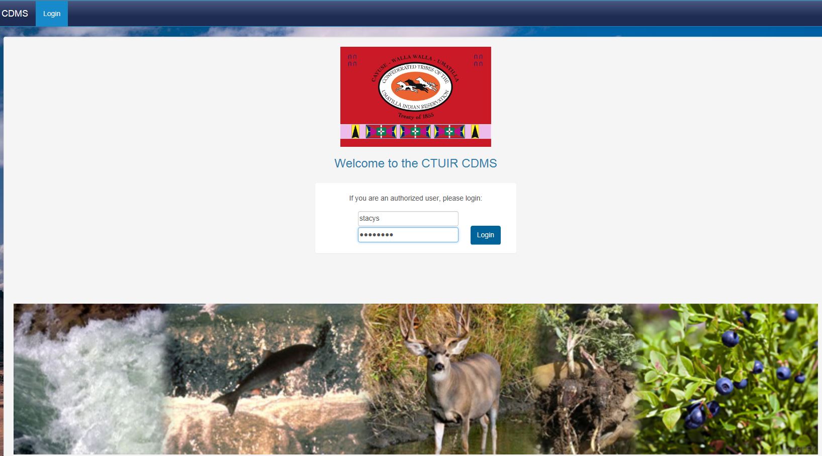
CDMS
The Central Data Management System (CDMS) gives the Department of Natural Resources a single place to store project details, images, files and soon data for programs and projects. From this tool DNR can then easily find and share project information and data, generate Quad and other types of reports, perform queries, even publish data for other organizations. The goal of this tool is to make data management more efficient and to provide more timely, relevant and higher quality information to decision makers.
This site is currently restricted to employee use only. Only users with a CTUIR username and password may access this application. Please contact the OIT if you need access to the Project Tracker and do not have a CTUIR account. https://paluut.ctuir.org/
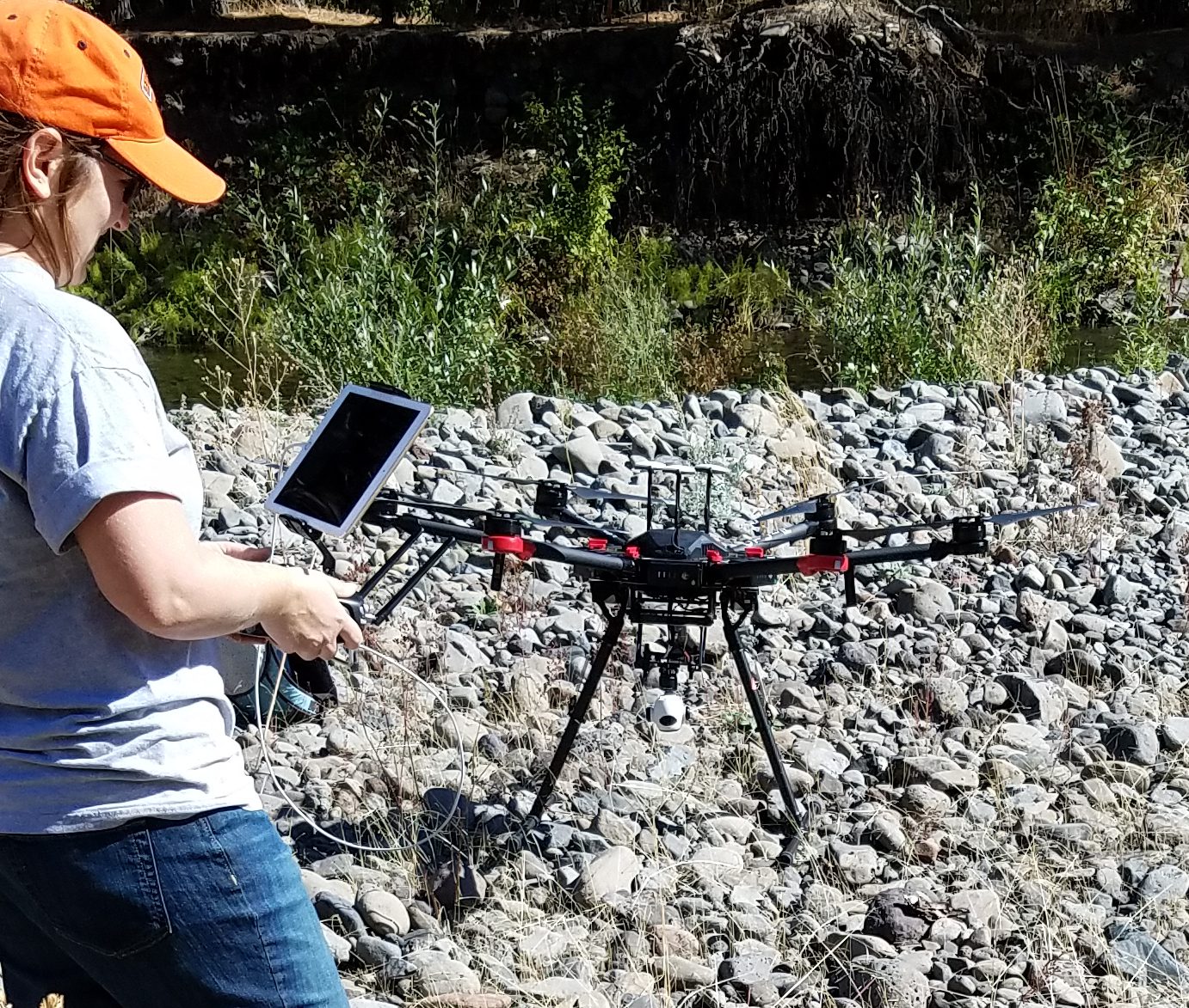
UAS Projects
The GIS Program is currently utilizing drones to collect high resolution imagery and elevation data. A feasibility study is being conducted to determine if drones are useful in delineating areas of high water quality vs. areas of low water quality as well as conducting feral horse surveys. CTUIR currently has 2 licensed drone pilots and 3 drone systems. The Matrice 600 pro, the Matrice 200 and the Phantom 4 pro.
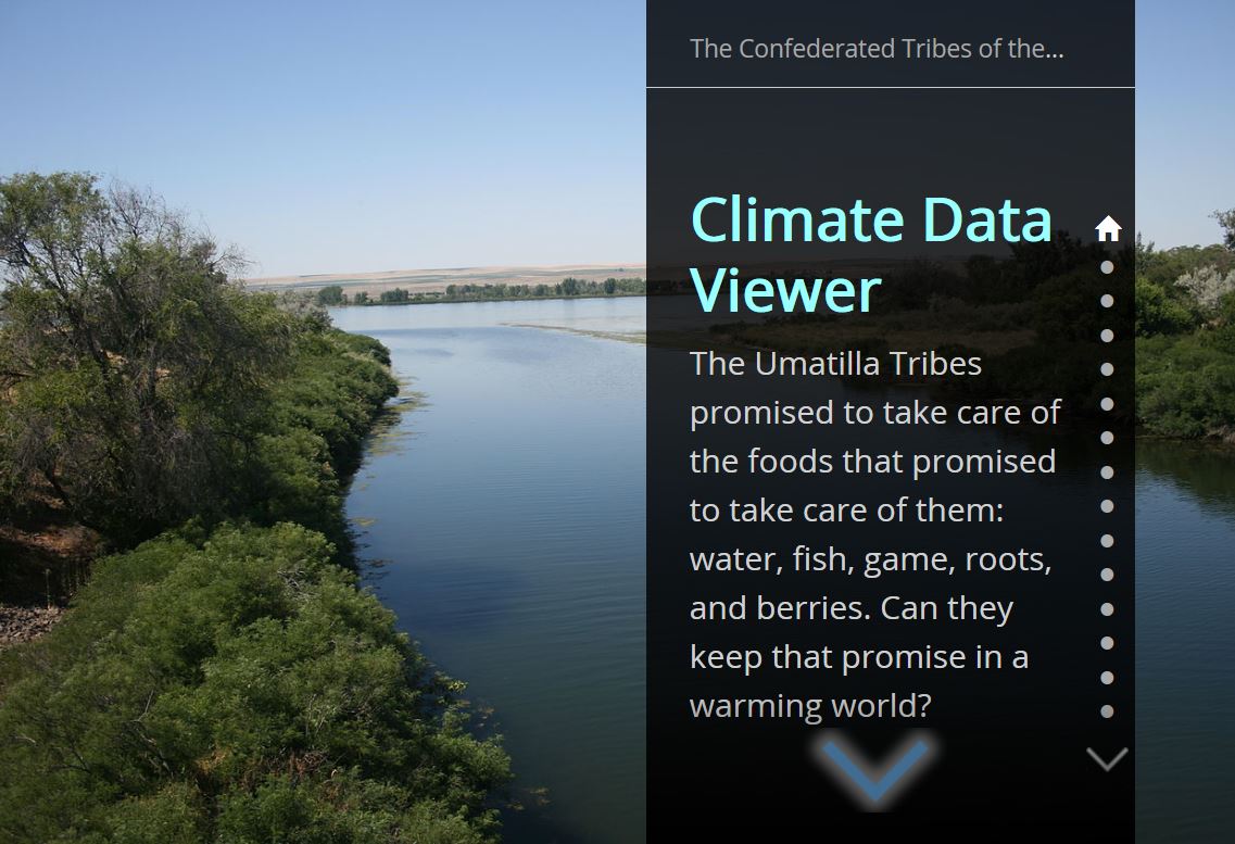
Climate Change Protection
The GIS Program has participated in two climate change funding opportunities under the BIA. The first opportunity was in 2014 and funded CTUIR to develop a web portal consolidating climate data for CTUIR with the purpose of providing data to inform planning efforts for climate change impacts. The results of this effort included incorporating 31 datasets in the data library. The data are accessible through the climate change story map.
The second effort has funded CTUIR to predict changes to the Umatilla river floodplain based on anticipated climate driven variables. This effort was funded in 2017 and is on track for completion in 2019. Please check out this quad report for more information FutureFlowsQuadReport_July2017
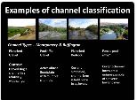
Natural Resource Management – Channel Classification and Floodplain Morphology
Quantitative measures linking process-based, physical habitat characteristics to salmonid utilization remains a central problem plaguing Pacific Salmon recovery efforts and sub-basin plans (NWPCC 2005) throughout the Columbia River basin. Multiple river classification systems developed to better monitor, manage and characterize river ecosystems (Hudson et al. 1992, Maxwell et al. 1995, Montgomery 1995, Poff 1997). In order to provide a more efficient and objective assessments of riverine conditions we develop a characterization of physical processes and classify salmon utilization among and between these habitats.
We take an approach that complements past efforts, specifically the Environmental Diagnosis and Treatment (EDT) techniques, by using extensive digital datasets and physical models to predict coarse scale, potential habitat conditions for several watersheds. Our approach classifies all stream segments in these watersheds using techniques developed from physical and statistical models. We model spatially extensive physical processes using existing 10 meter DEMs and 1:24,000 scale stream data sets that provide continuous values for several important hydrologic and geomorphic parameters. The resulting database of all stream classifications will be used to inform our restoration efforts.